Study area
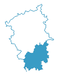
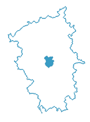
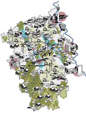
The DAZWISCHEN project not only examines the Rhenish mining district as a whole region, but also the district of Euskirchen and the city of Düren as practical examples. The analysis of the Rhenish mining district provides an overview of the entire region and thus a basis for regional (planning) decisions. The studies at district and city level are also intended to provide an exemplary approach for the spatial analysis of districts and municipalities affected by structural change, which can be transferred to other locations.
Spatial analysis in the multi-level system


